

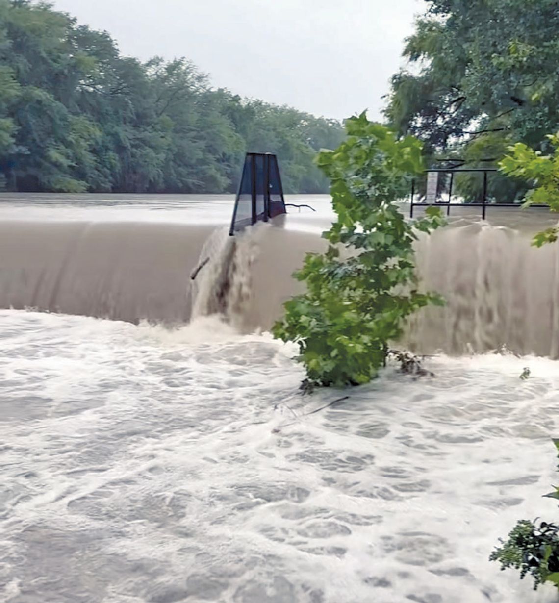
A Flood Watch remains in effect for Kendall County and Boerne through 7 p.m. Thursday, as multiple rounds of showers and thunderstorms continue to roll through the area. The National Weather Service said some storms may produce heavy rainfall over already saturated areas.
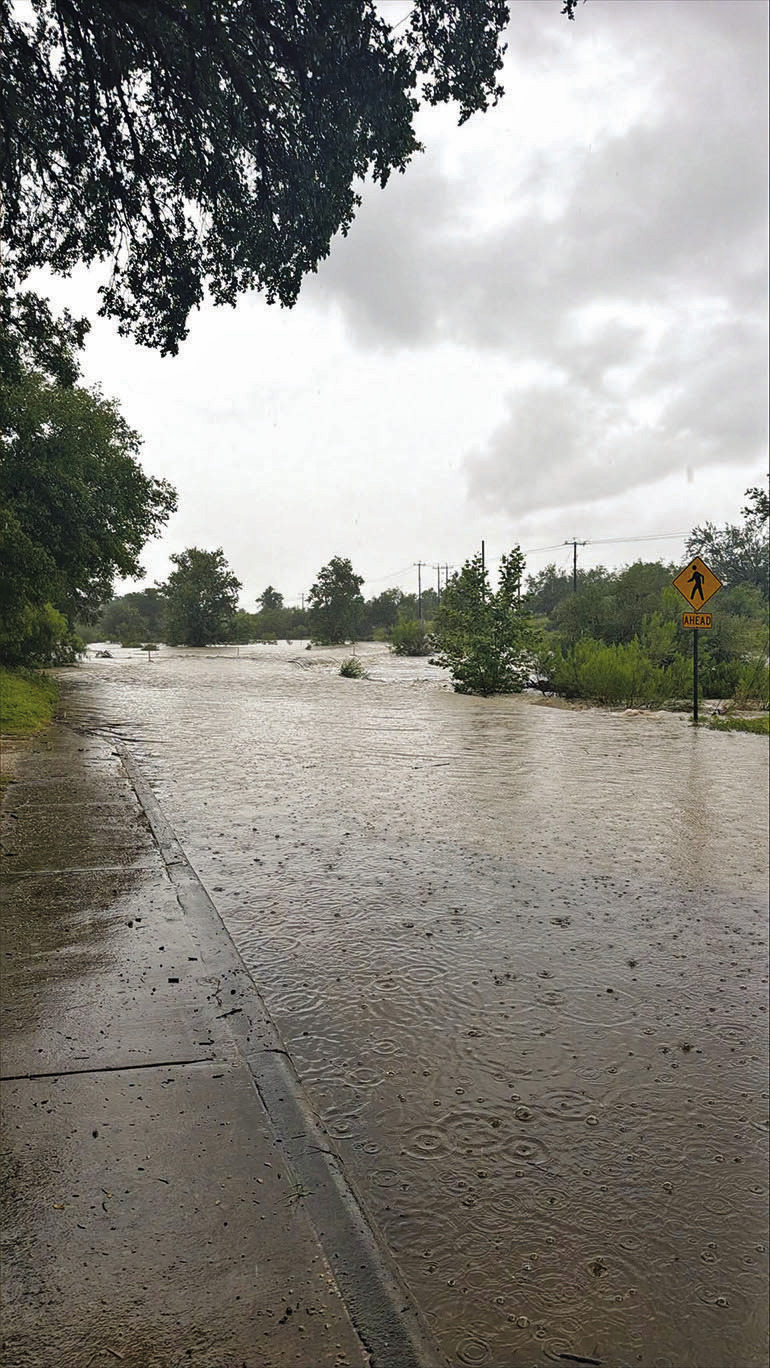
As of 6 a.m. Tuesday, several common low-water crossings in Boerne — Rosewood Avenue, Theissen Street, James Street and Old San Antonio Road — were closed and could face more closures as predicted rains fall on already saturated ground.
Additional showers and storms are possible early Wednesday with an 80% chance of showers and thunderstorms and a high near 82 degrees.
Thursday’s forecast is similar: A 70% chance of rain and storms through Thursday night before conditions gradually improve. For Friday and into the weekend rain chances decrease significantly, according to the weather service, with drier and warmer weather returning Saturday and Sunday.
The weather service warns that slow-moving or repeatedly developing storms could produce locally significant and potentially life-threatening flooding somewhere within the broader watch area.
Widespread regional totals of 2–6 inches are possible, with much higher isolated amounts, especially across portions of the western Hill Country and southern Edwards Plateau.
Reports of home rain gauge owners on the Boerne Radio 103.9 FM Facebook page include 2.45 and 2.6 inches in Fair Oaks Ranch, 3.55 inches in Elkhorn Ridge, 4.4 inches near Boerne High School, 3.48 inches at Boerne Lake, and 6 and 6.5 inches in Esperanza.
During Tuesday’s Kendall County Commissioners Court meeting, Fire Marshall Brady Constantine said every volunteer fire station in the county reported at least 2 inches of rain Monday.
The Kendall County Emergency Management Center reminds motorists to remain weather-aware through Thursday.
• Avoid flooded roads and low-water crossings and never drive around barricades. Conditions can deteriorate quickly even when it is not raining directly over your location.
• Use extra caution when traveling, especially near low-water crossings and flood-prone roadways.
• Never drive through standing or moving water, go around barricades, or assume a familiar crossing is safe. Water can rise quickly and may be deeper or moving faster than it appears. “Remember: Turn Around, Don’t Drown.”



Comment
Comments